 |
 |
 |
 |
Trails
Trails
To fulfill our mission of providing a healthier, more vibrant community in East Baton Rouge Parish, we take trails and walking paths very seriously. Learn more about our different types of trails & paths below and find one near you!
GREENWAY
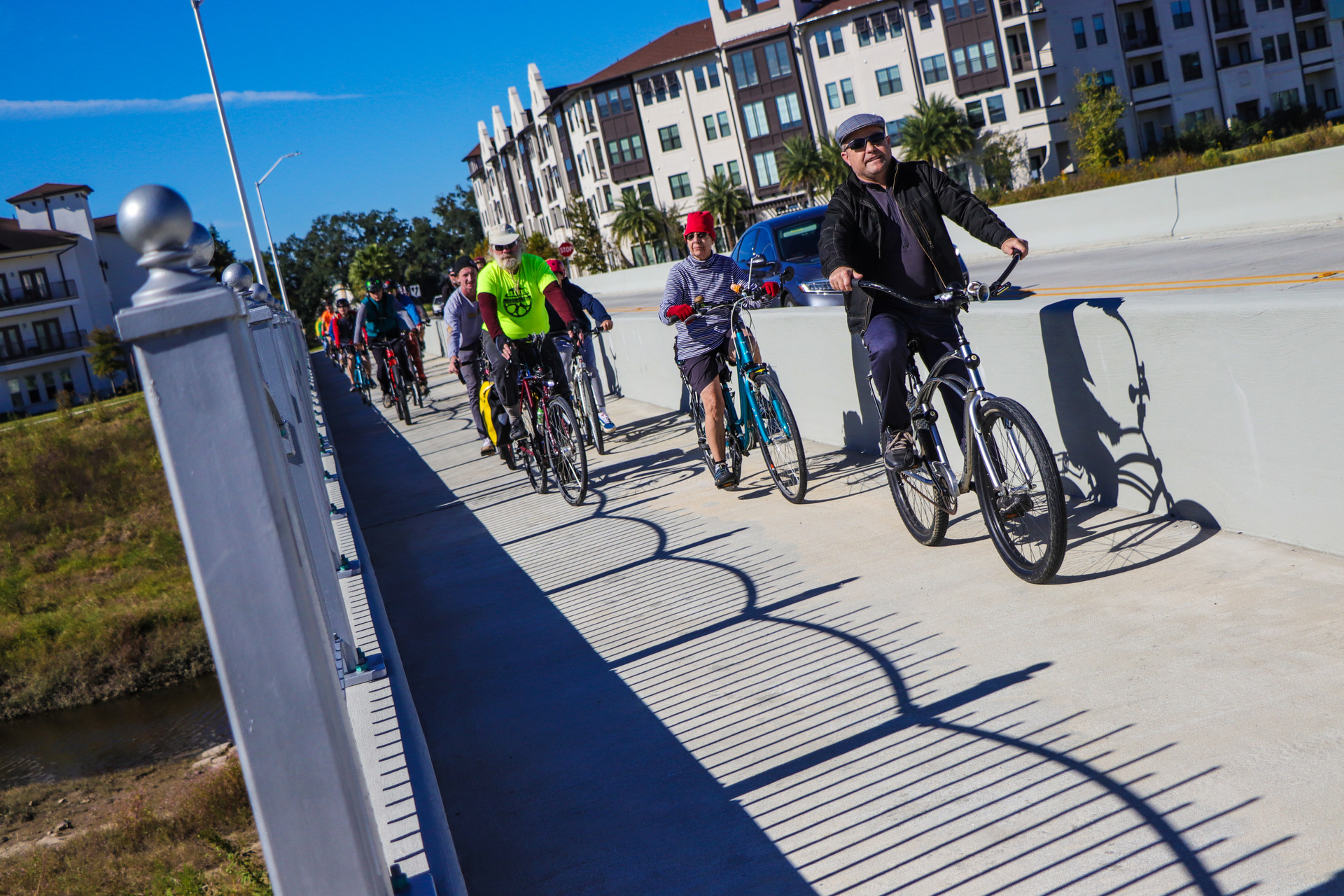
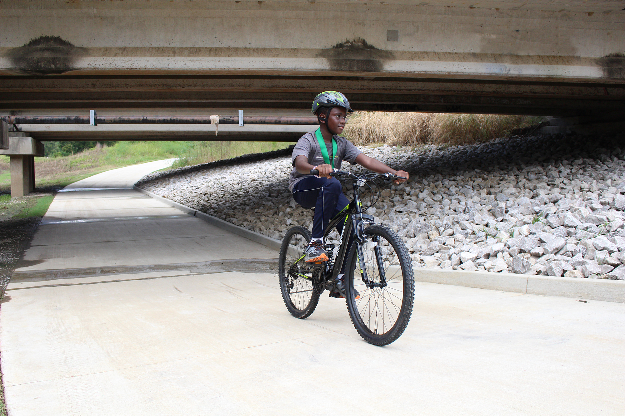
A greenway is a trail or road along a strip of undeveloped land, often near an urban area, set aside for recreational use or environmental protection. They are 10’ – 16’ accessible multi-use (bicycle/pedestrian) trails that have minimal interaction with vehicular roadways and connect people to parks, businesses, workplaces, and essential amenities. Typical amenities include benches, waste receptacles, water fountains, exercise stations, trailheads, and bike repair stations. Greenways may or may not be located on BREC property but the Greenway itself is considered public right of way. To learn more about BREC Greenways click here
| Location | Length |
|---|---|
Mississippi River Levee Trail6402 River RoadBaton Rouge, LA 70820 City-Parish Trail. Farr Park Trailhead managed by BREC. |
13 |
Downtown Greenway935 South 11th StreetBaton Rouge, LA 70802 Trail connects to 1.75 mile Downtown Greenway DDD/City-Parish Trail. Expressway Park Trailhead managed by BREC |
1.75 |
Greenwood Greenway13350 Hwy. 19Baton Rouge, LA 70714 |
0.53 |
Scotlandville Parkway3200 Harding BlvdBaton Rouge, LA 70813 Total park trail mileage, including recreational trails is 8.36 |
2.96 |
Ward Creek Greenway9311 Mall of Louisiana BlvdBaton Rouge, LA 70810 |
2.55 |
Dawson Creek Greenway1900 Kenilworth PkwyBaton Rouge, LA 70808 |
1.75 |
City Park Greenway1515 Dalrymple DriveBaton Rouge, LA 70808 Managed by City-Parish, LSU, and BREC. |
4 |
PARK TRAIL
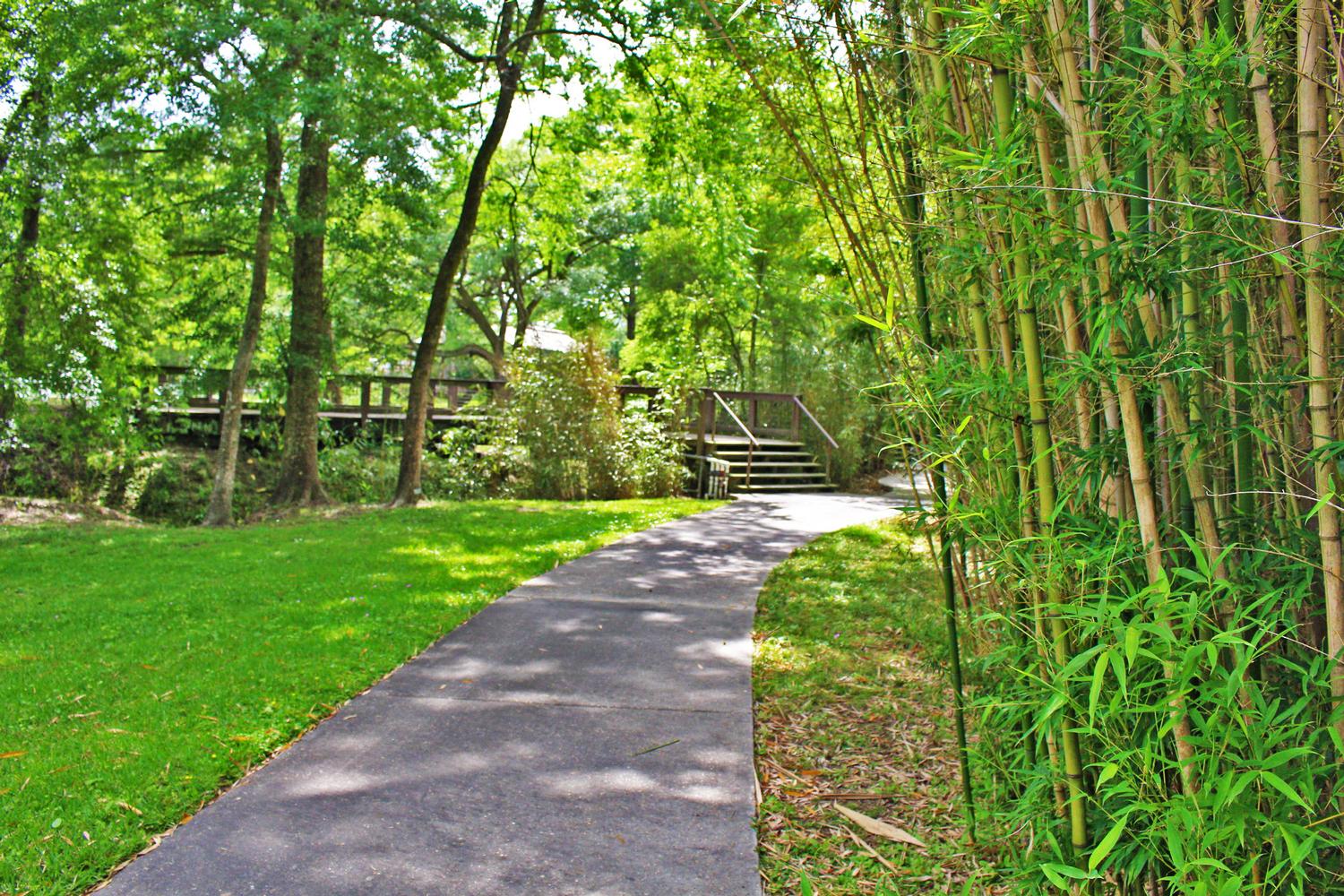
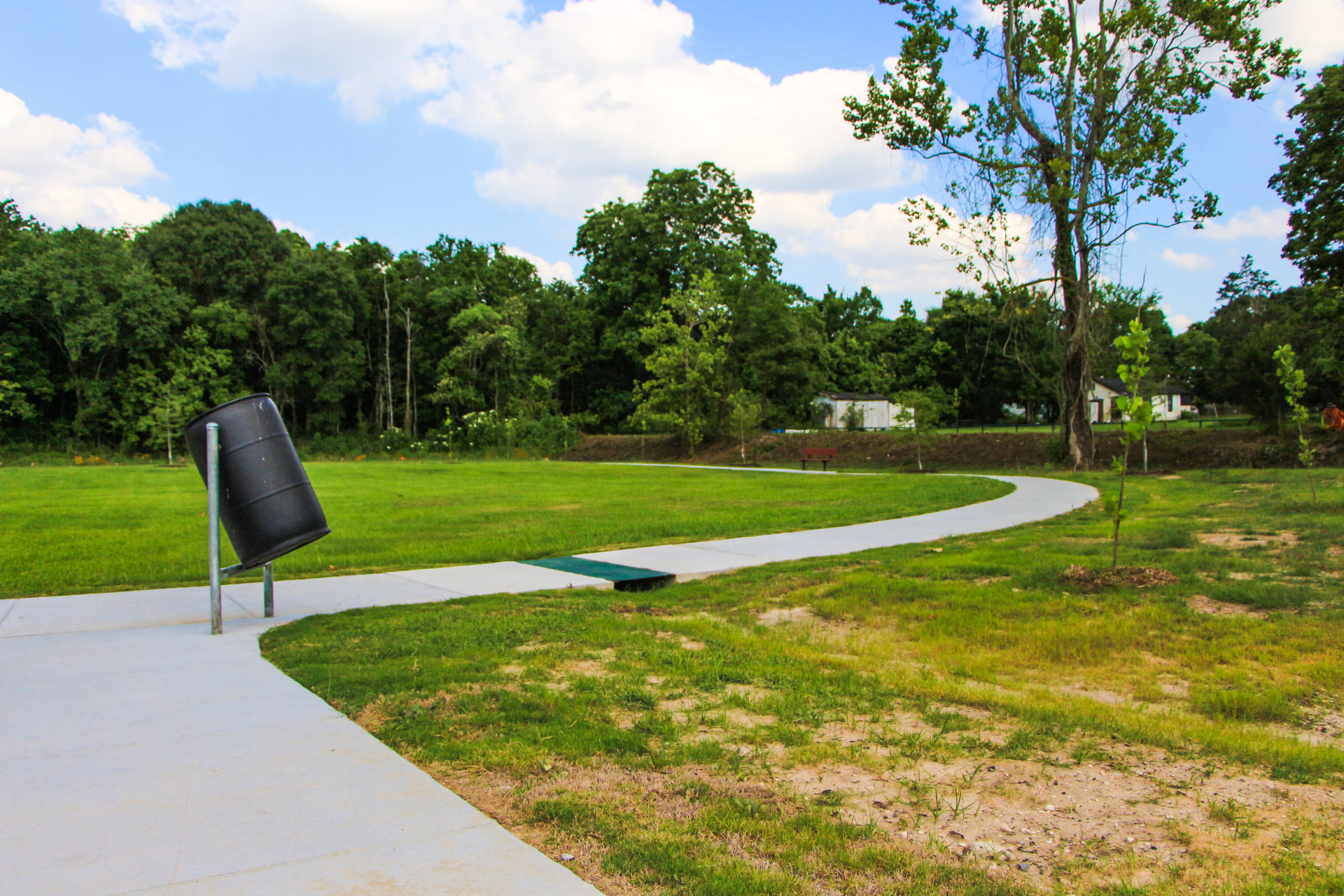
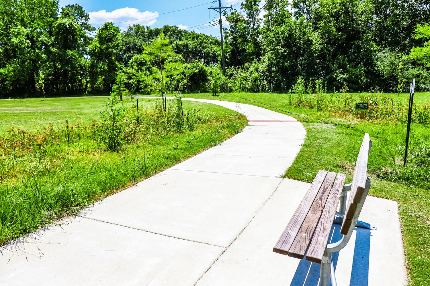
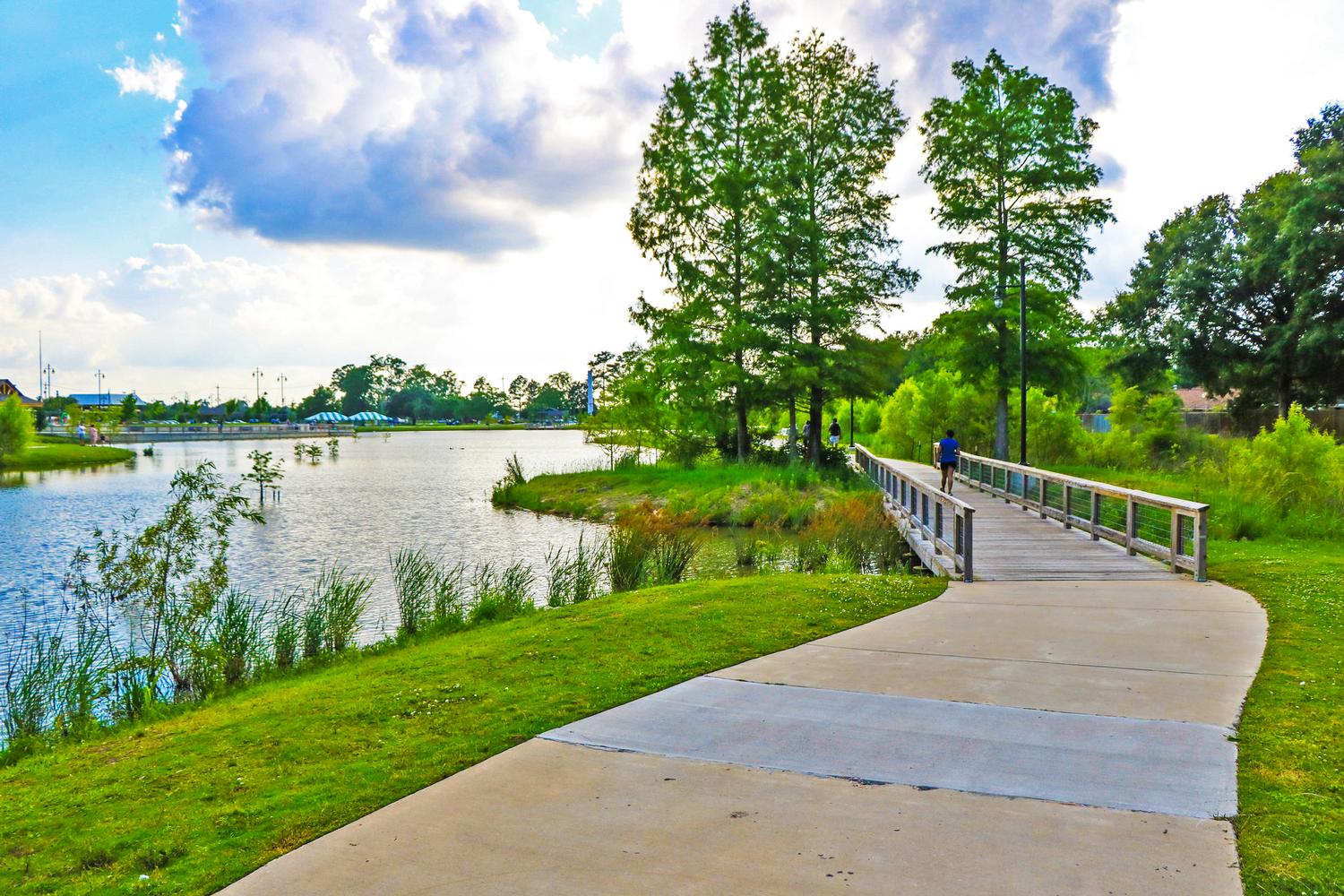
Park Trails are paved paths located in a park that is not part of the BREC Greenway Trail system. These paths are various widths typically ranging from 4’ - 12' wide and facilitate various recreational activities that are typical in parks. These paths typically provide a smooth, accessible route and most feature benches, receptacles, and drinking fountains and are used for connectivity within and throughout a park as well as to and from parking lots. The following list is not a comprehensive list of all Park Trails, but those classified as “Walking Loops.” Walking Loops are continuous routes that circulate and are typically used for exercise. The noted laps per mile are approximate and intended to provide users a general guide in tracking distances.
 |
 |
 |
 |
PRIMITIVE TRAIL
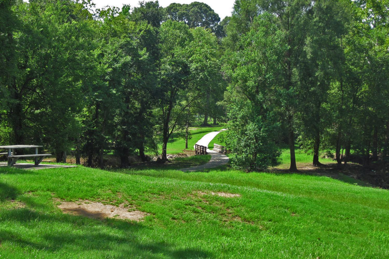
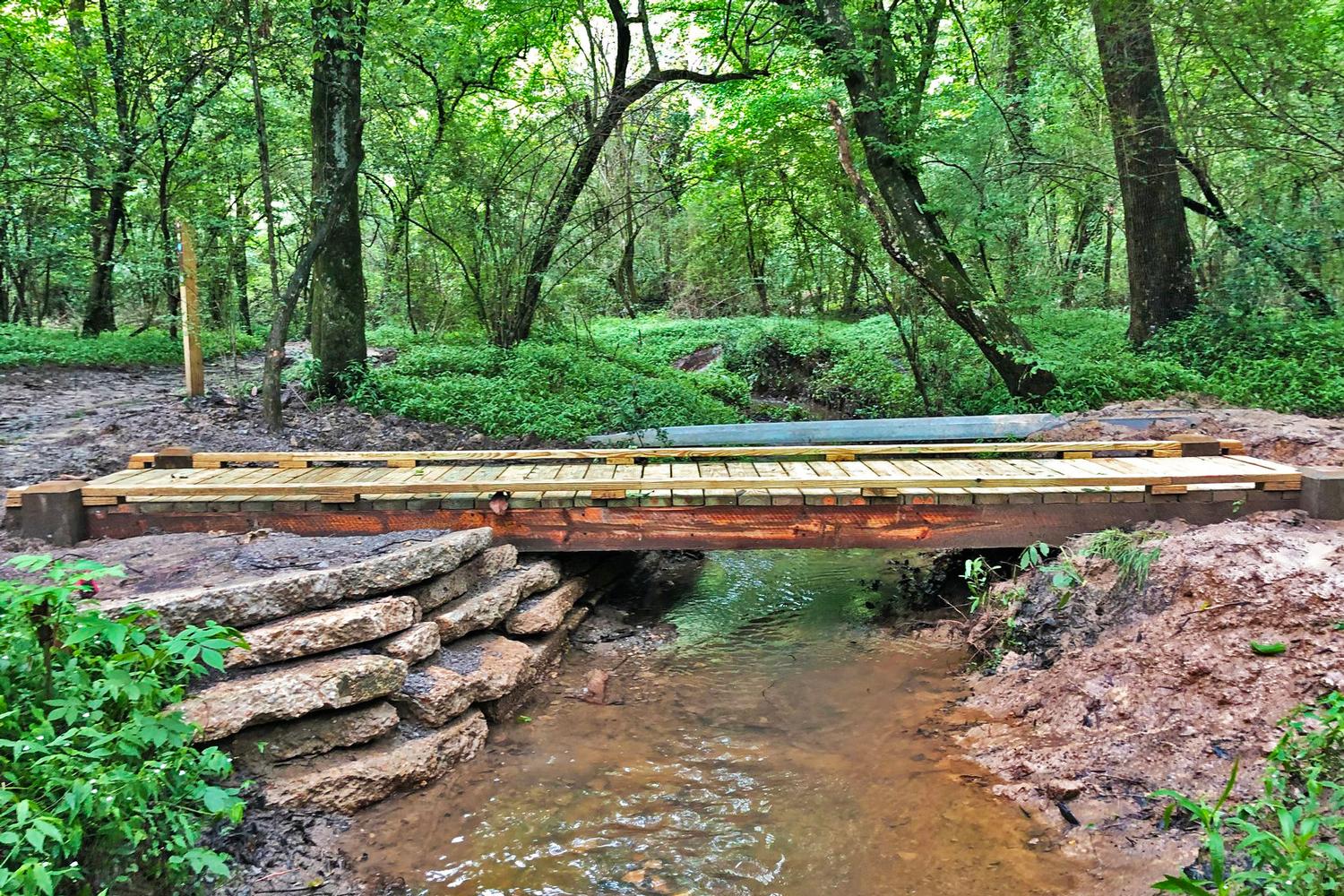
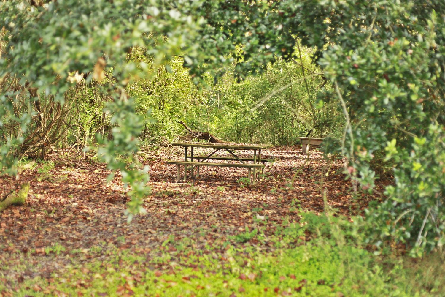
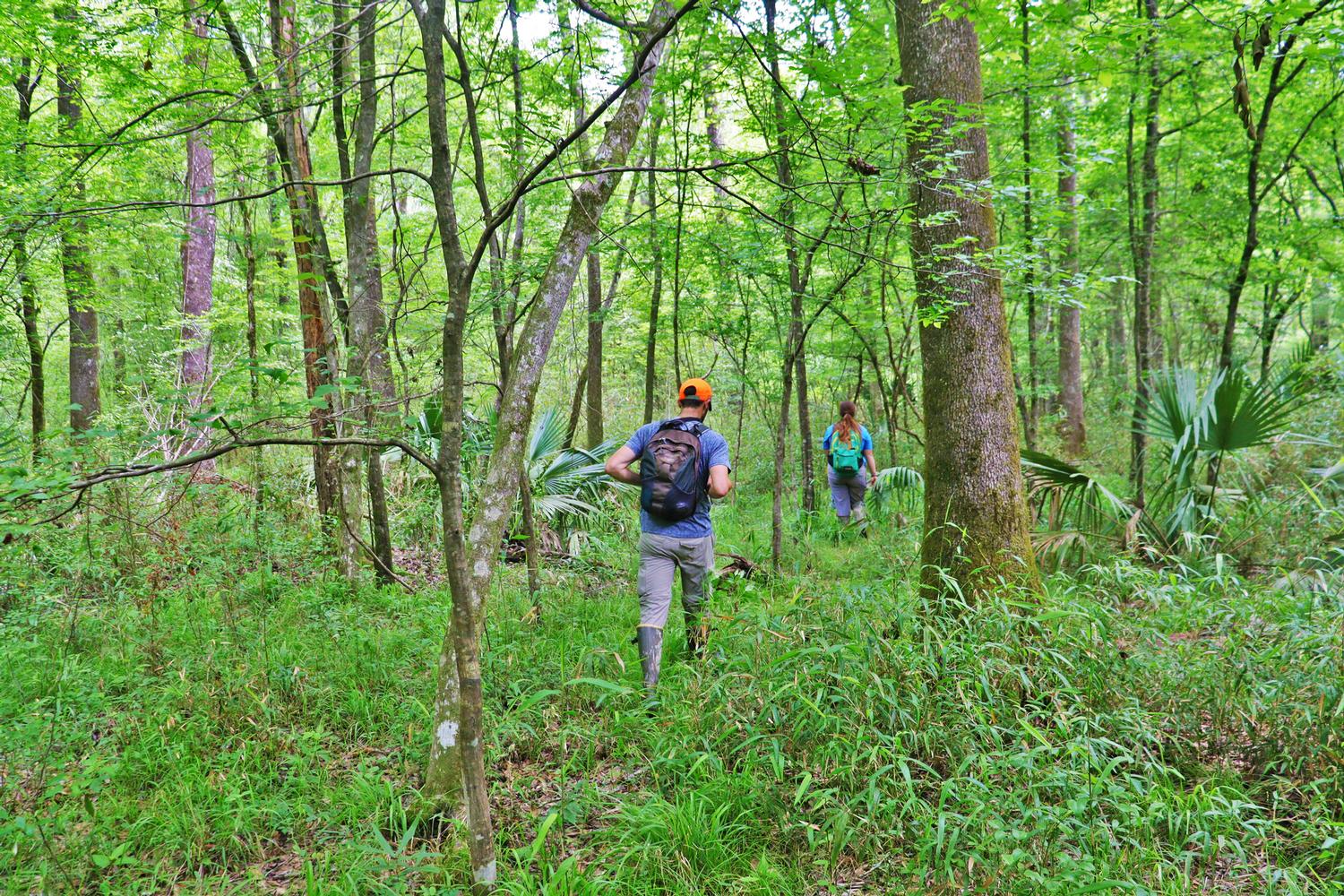
Primitive Hiking Trails allow hikers to experience nature within conservation areas or forested land in Community and Neighborhood Parks. These trails are dirt surface, often uneven footing, relatively narrow and primitively developed with minimal directional signage. Trails may require small creek or ditch crossings and will be muddy in wet conditions. Bridges often provided at larger crossings. Check specific park page for information on restrooms, running water and park rules prior to visiting as often these amenities are not provided. Bikes are prohibited on some primitive hiking trails. Wear closed toed shoes and bring water, sunscreen and insect repellent.
 |
 |
 |
| Location | Length |
|---|---|
Blackwater Conservation Area9385 Blackwater RoadCentral, LA 70814 Other Trail Types at Location: Nature Trails Total Park Trail Mileage: 1.5 miles MAP |
0.17 |
Cedar Ridge Drive Park13300 Cedar Ridge AveBaton Rouge, LA 70817 Other Trail Types at Location: Nature Trails MAP |
0.3 |
Comite River Park8900 Hooper RoadBaton Rouge, LA 70818 MAP |
6.11 |
Forest Community Park13900 South Harrell's Ferry RoadBaton Rouge, LA 70816 Other Trail Types at Location: Nature Trails Total Park Trail Mileage: 1.62 miles MAP |
1.15 |
Frenchtown Road Conservation Area17819 Frenchtown RoadCentral, LA 70739 MAP |
4.32 |
Highland Road Park Observatory13800 Highland RoadBaton Rouge, LA Other Trail Types at Location: Blueway MAP |
0.64 |
Hooper Road Park6261 Guynell RoadBaton Rouge, LA 70811 MAP |
4.76 |
Kendalwood Road Park26501 Kendalwood RoadBaton Rouge, LA 70817 MAP |
2.16 |
Manchac Park19010 Jefferson HwyBaton Rouge, LA 70817 Other Trail Types at Location: Nature Trails Total Park Trail Mileage: 1.1 miles MAP |
1.1 |
Sandy Creek Community Park21572 Carson RoadPride, LA 70770 MAP |
4.01 |
Zachary Community Park20055 Old Scenic HwyZachary, LA 70791 Other Trail Types at Location: Park Trail MAP |
0.5 |
NATURE TRAIL
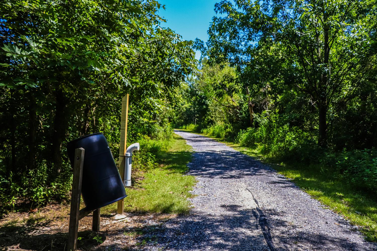
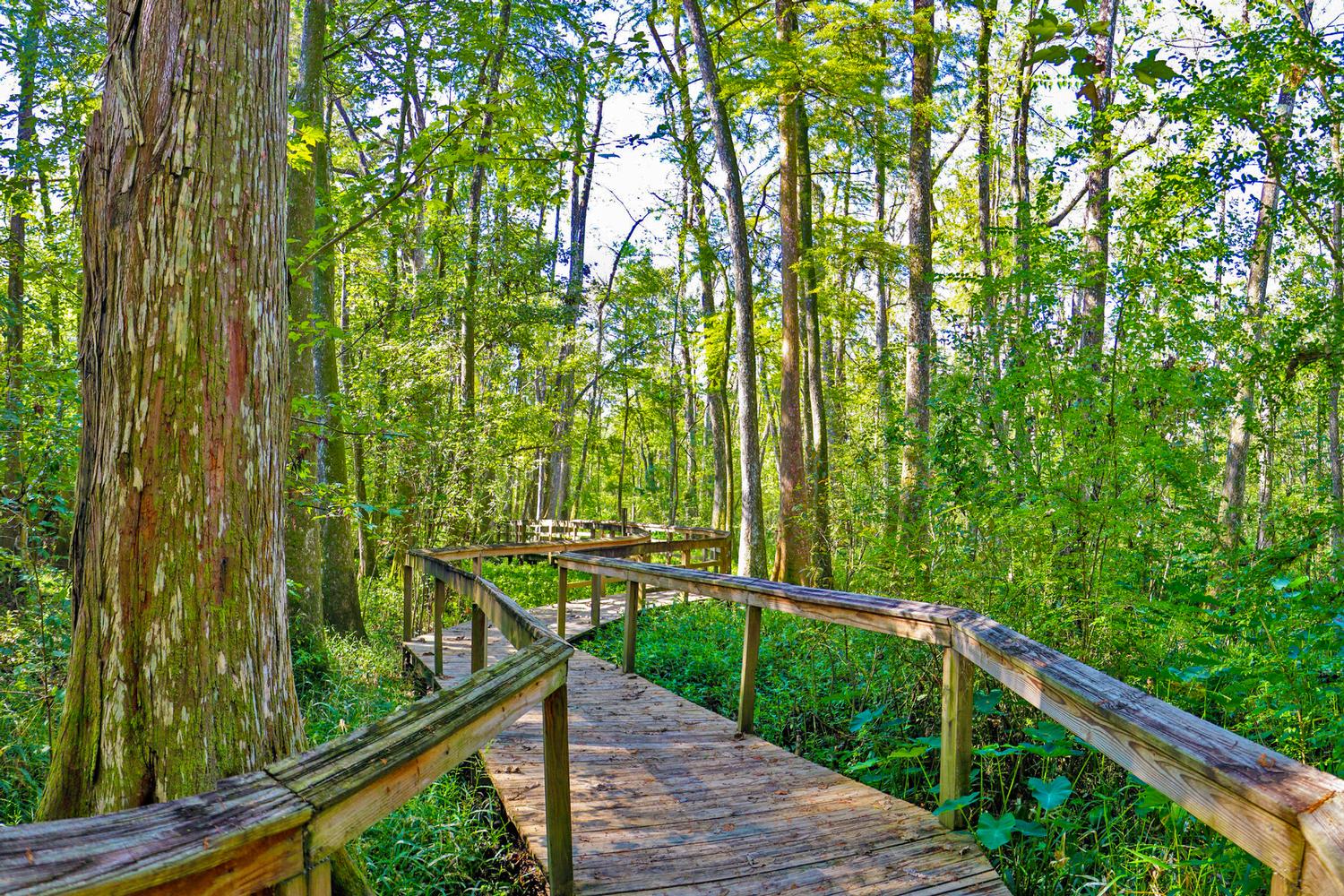
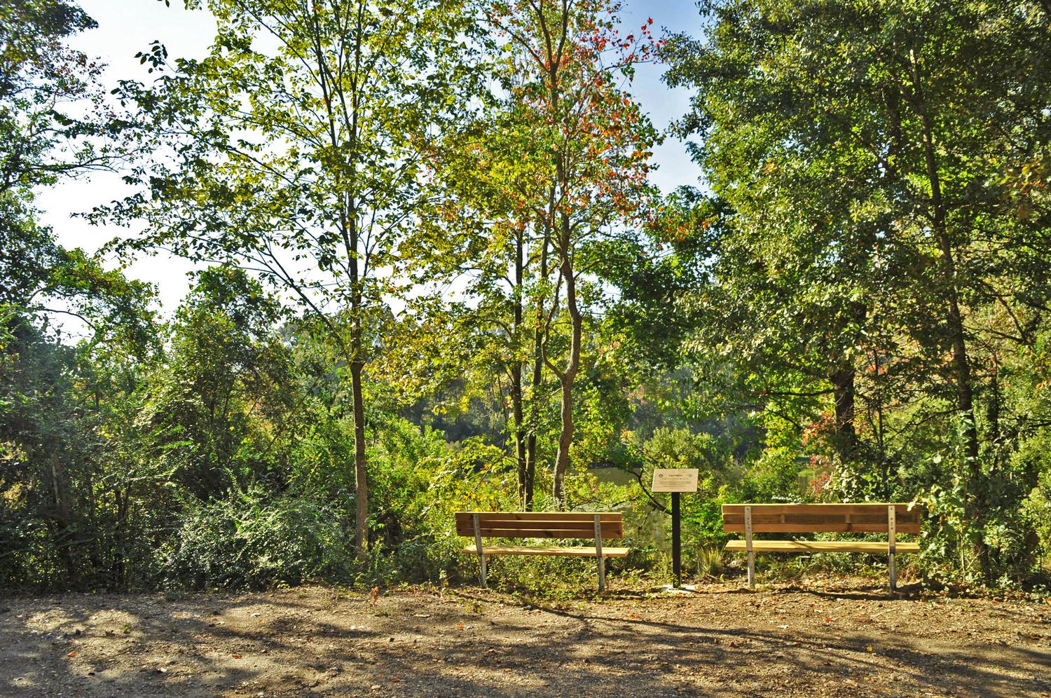
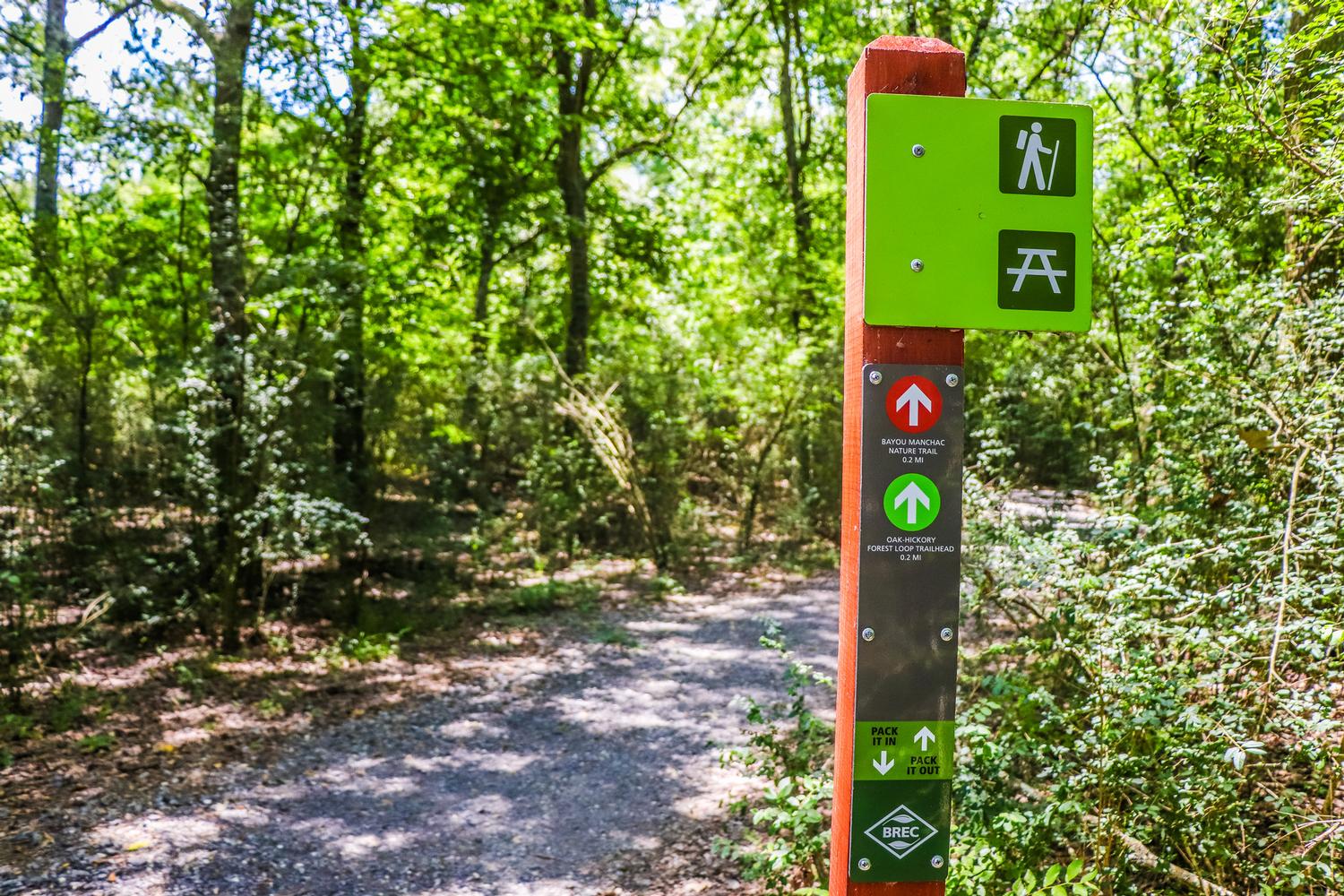
Nature Trails are more developed hiking trails within conservation areas and parks which allow a wide variety of users to experience nature one of one. These trails are more developed than primitive hiking trails and are often wider with even surfaces. Boardwalks and bridges provide ease of access over wet areas or streams and trails are unpaved with varied surfaces. Nature Trails often provide interpretive signage providing insight about the park's natural or cultural history. These trails tend to be located in parks with amenities such as bathrooms, drinking fountains, and shelter.
 |
 |
 |
 |
| Location | Length |
|---|---|
Blackwater Conservation Area9385 Blackwater RoadCentral, LA 70814 Other Trail Types at Location: Primitive Trail Total Park Trail Mileage: 1.5 miles Map |
1.33 |
Bluebonnet Swamp Nature Center10503 N. Oak Hills ParkwayBaton Rouge, LA 70810 Map |
1.1 |
Forest Community Park13900 South Harrell's Ferry RoadBaton Rouge, LA 70816 Other Trail Types at Location: Primitive Trail Total Park Trail Mileage: 1.62 miles Map |
0.5 |
Greenwood Community Park12250 Hwy 19Baker, LA 70714 |
1.68 |
Manchac Park19010 Jefferson HwyBaton Rouge, LA 70817 Other Trail Types at Location: Primtive Trail Total Park Trail Mileage: 1.1 miles Map |
0.2 |
BLUEWAY
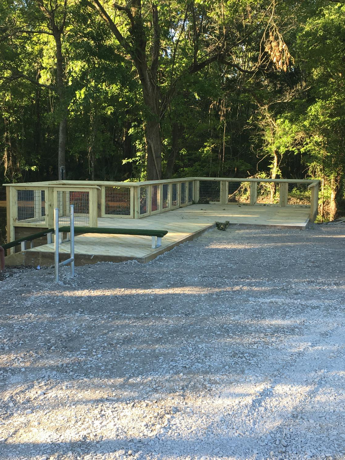
Also known as water trails, are routes on navigable waterways such as rivers, creeks, canals, and coastlines for recreational use. Launches are located at Blueway trailheads located in both urban and natural environments. BREC Blueway Launches allow access to waterways for non-motorized paddle craft. Launch sites may or may not be located on BREC property but the Blueway itself is considered public right of way. As public right of ways, blueways may cross multiple political jurisdictions and rules and regulations for allowable water craft and use may vary.
| Location | Length |
|---|---|
Highland Road Community Park14024 Highland RoadBaton Rouge, LA 70810 MAP |
4.2 |